|
search place name
|
||
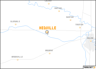
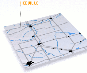
Hedville (Kansas, United States - USA)Hedville is a town in the Kansas region of United States - USA. An overview map of the region around Hedville is displayed below.
regional and 3d topo map of Hedville, United States - USA ::
Hedville airports ::
The nearest airport is FRI - Fort Riley Marshall Aaf, located 89.0 km east of Hedville.
Other airports nearby include ICT - Wichita Mid Continent (137.7 km south), IAB - Wichita Mc Connell Afb (144.3 km south), LNK - Lincoln (236.8 km north), Nearby towns ::
 Places with similar names to Hedville, United States - USA ::
// Hattieville (BZ)
// Hauteville (CH)
// Hotevilla (US)
// Hattieville (US)
// Whiteville (US)
// Whiteville (US)
// Hoodville (US)
// Hiattville (US)
// Hittville (US)
// White Villa (US)
Disclaimer :: Information on this page comes without warranty of any kind |
||
|
Where is Hedville? Elevation and coordinates ::
Latitude (lat): 38°51'46"N Longitude (lon): 97°45'40"W
Elevation (approx.): 391m (map arrows pan, magnifying glasses zoom) |
||
|
Visiting Hedville? Hotel/Accommodation ::
Book a hotel in Hedville Travel Guide ::
rental cars ::
car rental offers GPS waypoint ::
download a GPX waypoint (PoI) of Hedville for your GPS receiver
|
||