|
search place name
|
||
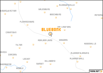
Bluebank (Kentucky, United States - USA)Bluebank is a town in the Kentucky region of United States - USA. An overview map of the region around Bluebank is displayed below.
regional and 3d topo map of Bluebank, United States - USA ::
Bluebank airports ::
The nearest airport is LUK - Cincinnati Muni Lunken Fld, located 103.9 km north west of Bluebank.
Other airports nearby include CVG - Cincinnati Northern Kentucky Intl (114.9 km north west), FFO - Dayton Wright Patterson Afb (163.7 km north), LCK - Columbus Rickenbacker Intl (170.8 km north), DAY - James M Cox Dayton Intl (175.5 km north), Nearby towns ::
Poplar Plains (3.1km south west) //
Goddard (4.2km south east) //
Wallingford (4.4km north east) //
Beechburg (7.1km north) //
Bald Hill (6.0km south west) //
Dalesburg (9.1km north) //
Flemingsburg (8.1km north west) //
[all distances 'as the bird flies' and approximate] 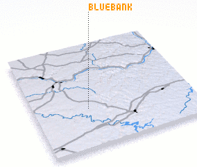 Places with similar names to Bluebank, United States - USA ::
// Balibangue (CM)
// Balabanka (UA)
// Blue Bank (US)
// Balebanga (TD)
// Balé Bongou (NE)
// Bulbuong (SD)
// Bolobengo (GN)
// Balabanka (RU)
// Balabinka (RU)
// Bolobang (LR)
Disclaimer :: Information on this page comes without warranty of any kind |
||
|
Where is Bluebank? Elevation and coordinates ::
Latitude (lat): 38°23'2"N Longitude (lon): 83°39'18"W
Elevation (approx.): 267m (map arrows pan, magnifying glasses zoom) |
||
|
Visiting Bluebank? Hotel/Accommodation ::
Book a hotel in Bluebank Travel Guide ::
rental cars ::
car rental offers GPS waypoint ::
download a GPX waypoint (PoI) of Bluebank for your GPS receiver
|
||