|
search place name
|
||
McGowan (Kentucky, United States - USA)McGowan is a town in the Kentucky region of United States - USA. An overview map of the region around McGowan is displayed below.
regional and 3d topo map of McGowan, United States - USA ::

McGowan airports ::
The nearest airport is HOP - Hopkinsville Campbell Aaf, located 53.2 km south east of McGowan.
Other airports nearby include BNA - Nashville Intl (147.0 km south east), MKL - Jackson Mc Kellar Sipes Rgnl (188.2 km south west), FTK - Fort Knox Godman Aaf (190.5 km north east), BLV - Belleville Scott Afb Midamerica (240.8 km north west), Nearby towns ::
Cedar Bluff (3.4km north) //
Scottsburg (3.1km north east) //
Otter Pond (3.8km south east) //
Walche Cut (6.0km north east) //
Princeton (6.6km north west) //
Pumpkin Center (7.4km north) //
Hopson (7.5km south) //
Friendship (6.9km east) //
Crowtown (8.9km north west) //
Claxton (8.7km north east) //
Cobb (9.5km south east) //
Midway (10.5km north east) //
[all distances 'as the bird flies' and approximate] 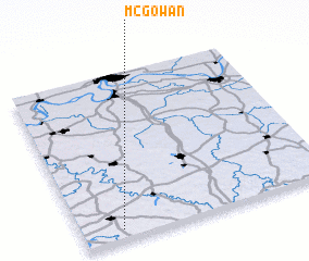 Places with similar names to McGowan, United States - USA ::
Disclaimer :: Information on this page comes without warranty of any kind |
||
|
Where is McGowan? Elevation and coordinates ::
Latitude (lat): 37°3'28"N Longitude (lon): 87°50'40"W
Elevation (approx.): 155m (map arrows pan, magnifying glasses zoom) |
||
|
Visiting McGowan? Hotel/Accommodation ::
Book a hotel in McGowan Travel Guide ::
rental cars ::
car rental offers GPS waypoint ::
download a GPX waypoint (PoI) of McGowan for your GPS receiver
|
||