|
search place name
|
||
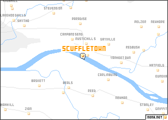
Scuffletown (Kentucky, United States - USA)Scuffletown is a town in the Kentucky region of United States - USA. An overview map of the region around Scuffletown is displayed below.
regional and 3d topo map of Scuffletown, United States - USA ::
Scuffletown airports ::
The nearest airport is FTK - Fort Knox Godman Aaf, located 123.1 km east of Scuffletown.
Other airports nearby include HOP - Hopkinsville Campbell Aaf (139.6 km south), LOU - Louisville Bowman Fld (153.7 km east), HUF - Terre Haute Intl Hulman Fld (169.8 km north), BNA - Nashville Intl (208.9 km south), Nearby towns ::
Vanada (1.3km north east) //
Rustic Hills (3.7km north) //
Hillcrest Terrace (3.6km north west) //
Newburgh (3.8km north west) //
Camp Brosend (5.1km north west) //
Dayville (5.6km north east) //
Carlinburg (6.1km south east) //
Beals (6.8km south west) //
Paradise (8.1km north) //
Reed (8.1km south) //
Yankeetown (6.6km east) //
Spottsville (8.1km south west) //
[all distances 'as the bird flies' and approximate] 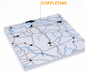 Places with similar names to Scuffletown, United States - USA ::
Disclaimer :: Information on this page comes without warranty of any kind |
||
|
Where is Scuffletown? Elevation and coordinates ::
Latitude (lat): 37°55'22"N Longitude (lon): 87°22'20"W
Elevation (approx.): 124m (map arrows pan, magnifying glasses zoom) |
||
|
Visiting Scuffletown? Hotel/Accommodation ::
Book a hotel in Scuffletown Travel Guide ::
rental cars ::
car rental offers GPS waypoint ::
download a GPX waypoint (PoI) of Scuffletown for your GPS receiver
|
||