|
search place name
|
||
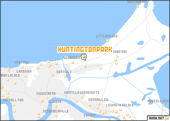
Huntington Park (Louisiana, United States - USA)Huntington Park is a town in the Louisiana region of United States - USA. An overview map of the region around Huntington Park is displayed below.
regional and 3d topo map of Huntington Park, United States - USA ::
Huntington Park airports ::
The nearest airport is NBG - New Orleans Nas Jrb, located 23.7 km south of Huntington Park.
Other airports nearby include MSY - Louis Armstrong New Orleans Intl (26.4 km west), BIX - Biloxi Keesler Afb (110.6 km east), BTR - Baton Rouge Metro Ryan Fld (124.6 km north west), MOB - Mobile Rgnl (182.9 km north east), Nearby towns ::
East Gentilly (1.3km south) //
Seabrook (2.4km west) //
Parc D'Orleans Number 2 Mobile Home Park (3.4km south east) //
Gentilly (5.2km south west) //
Camp Leroy Johnson (5.5km west) //
Little Woods (6.2km north east) //
Village de L'Est (5.8km east) //
Michoud (6.1km east) //
Willow Brook (6.2km east) //
Lake Oaks (6.7km west) //
Gentilly Terrace (7.0km south west) //
Milneburg (7.1km west) //
Pontchartrain Beach (7.0km west) //
Saint Claude Heights (8.1km south) //
Vieux Carre (11.1km south west) //
[all distances 'as the bird flies' and approximate] 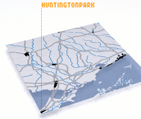 Places with similar names to Huntington Park, United States - USA ::
// Huntington Park (US)
// Huntington Park (US)
// Huntington Park (US)
// Huntington Park (US)
// Huntington Park (US)
Disclaimer :: Information on this page comes without warranty of any kind |
||
|
Where is Huntington Park? Elevation and coordinates ::
Latitude (lat): 30°2'7"N Longitude (lon): 89°59'20"W
Elevation (approx.): 4m (map arrows pan, magnifying glasses zoom) |
||
|
Visiting Huntington Park? Hotel/Accommodation ::
Book a hotel in Huntington Park Travel Guide ::
rental cars ::
car rental offers GPS waypoint ::
download a GPX waypoint (PoI) of Huntington Park for your GPS receiver
|
||