|
search place name
|
||
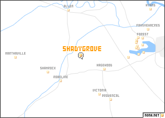
Shady Grove (Louisiana, United States - USA)Shady Grove is a town in the Louisiana region of United States - USA. An overview map of the region around Shady Grove is displayed below.
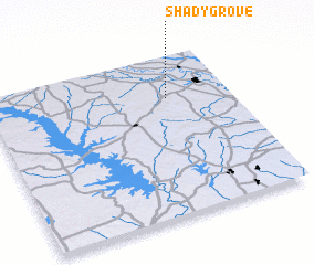
regional and 3d topo map of Shady Grove, United States - USA ::
Shady Grove airports ::
The nearest airport is POE - Fort Polk Polk Aaf, located 76.8 km south of Shady Grove.
Other airports nearby include AEX - Alexandria Intl (81.2 km south east), BAD - Shreveport Barksdale Afb (93.1 km north west), SHV - Shreveport Rgnl (95.3 km north west), ESF - Alexandria Esler Rgnl (99.0 km east), Nearby towns ::
 Places with similar names to Shady Grove, United States - USA ::
// Shady Grove (US)
// Shady Grove (US)
// Shady Grove (US)
// Shady Grove (US)
// Shady Grove (US)
// Shady Grove (US)
// Shady Grove (US)
// Shady Grove (US)
// Shady Grove (US)
// Shady Grove (US)
Disclaimer :: Information on this page comes without warranty of any kind |
||
|
Where is Shady Grove? Elevation and coordinates ::
Latitude (lat): 31°44'7"N Longitude (lon): 93°15'35"W
Elevation (approx.): 68m (map arrows pan, magnifying glasses zoom) |
||
|
Visiting Shady Grove? Hotel/Accommodation ::
Book a hotel in Shady Grove Travel Guide ::
rental cars ::
car rental offers GPS waypoint ::
download a GPX waypoint (PoI) of Shady Grove for your GPS receiver
|
||