|
search place name
|
||
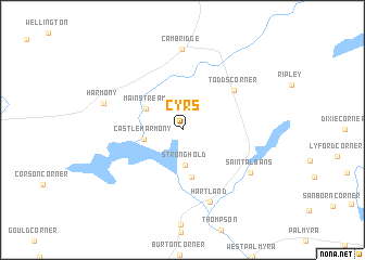
Cyrs (Maine, United States - USA)Cyrs is a town in the Maine region of United States - USA. An overview map of the region around Cyrs is displayed below.
regional and 3d topo map of Cyrs, United States - USA ::
Cyrs airports ::
The nearest airport is BGR - Bangor Intl, located 53.4 km east of Cyrs.
Other airports nearby include PWM - Portland Intl Jetport (159.5 km south west), PQI - Northern Maine Rgnl At Presque Isle (222.9 km north east), CAR - Caribou Muni (241.6 km north east), YQB - Quebec Jean Lesage Intl (253.2 km north west), Nearby towns ::
Stronghold (3.7km south) //
Castle Harmony (2.9km west) //
Mainstream (3.5km north west) //
Wildwood (4.9km south) //
Todds Corner (5.6km north east) //
Hartland (7.7km south) //
Cambridge (8.3km north) //
Saint Albans (6.6km south east) //
Harmony (6.3km north west) //
[all distances 'as the bird flies' and approximate] 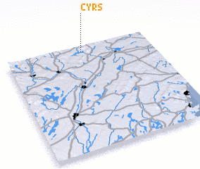 Places with similar names to Cyrs, United States - USA ::
Disclaimer :: Information on this page comes without warranty of any kind |
||
|
Where is Cyrs? Elevation and coordinates ::
Latitude (lat): 44°56'59"N Longitude (lon): 69°28'25"W
Elevation (approx.): 92m (map arrows pan, magnifying glasses zoom) |
||
|
Visiting Cyrs? Hotel/Accommodation ::
Book a hotel in Cyrs Travel Guide ::
rental cars ::
car rental offers GPS waypoint ::
download a GPX waypoint (PoI) of Cyrs for your GPS receiver
|
||