|
search place name
|
||
Avilton (Maryland, United States - USA)Avilton is a town in the Maryland region of United States - USA. An overview map of the region around Avilton is displayed below.
regional and 3d topo map of Avilton, United States - USA ::

Avilton airports ::
The nearest airport is AOO - Altoona Blair Co, located 94.6 km north east of Avilton.
Other airports nearby include EKN - Elkins Randolph Co Jennings Randolph (109.9 km south west), PIT - Pittsburgh (pennsylva) Pittsburgh Intl (138.0 km north west), IAD - Washington Dulles Intl (157.7 km south east), YNG - Youngstown Warren Rgnl (226.4 km north west), Nearby towns ::
Piney Grove (4.7km north west) //
Merrill (6.7km south west) //
High Point (7.2km north west) //
New Germany (7.1km west) //
Koontz (9.0km south east) //
Klondike (8.2km south east) //
[all distances 'as the bird flies' and approximate] 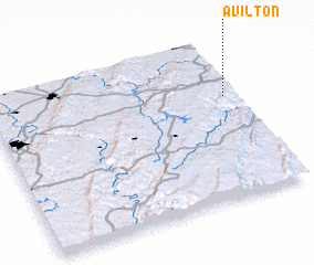
Disclaimer :: Information on this page comes without warranty of any kind |
||
|
Where is Avilton? Elevation and coordinates ::
Latitude (lat): 39°39'1"N Longitude (lon): 79°2'33"W
Elevation (approx.): 804m (map arrows pan, magnifying glasses zoom) |
||
|
Visiting Avilton? Hotel/Accommodation ::
Book a hotel in Avilton Travel Guide ::
rental cars ::
car rental offers GPS waypoint ::
download a GPX waypoint (PoI) of Avilton for your GPS receiver
|
||