|
search place name
|
||
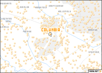
Columbia (Maryland, United States - USA)Columbia is a town in the Maryland region of United States - USA. An overview map of the region around Columbia is displayed below.
regional and 3d topo map of Columbia, United States - USA ::
Columbia airports ::
The nearest airport is BWI - Baltimore Washington Intl, located 16.5 km south east of Columbia.
Other airports nearby include DCA - Ronald Reagan Washington Natl (46.4 km south), ADW - Camp Springs Andrews Afb (Washington Dc Naf) (47.7 km south), IAD - Washington Dulles Intl (62.6 km south west), APG - Aberdeen Phillips Aaf (63.0 km north east), Nearby towns ::
Columbia Hills (0.9km east) //
Guilford Downs (1.2km south) //
Village of Dorseys Search (1.1km west) //
Thunder Hill (1.6km south) //
Dorsey Hall (1.7km north) //
The Willows (1.8km north west) //
Fox Hill (1.9km north west) //
Glenmont (2.0km south east) //
McAlpine (2.3km north) //
Vantage Point (2.2km south west) //
Running Brook (2.0km south west) //
Oakland Mills (2.4km south) //
Chateau Valley (2.1km north west) //
Crestleigh (2.5km north east) //
Dunloggin (2.7km north) //
Dunmoor Woods (2.5km north west) //
High View Estates (2.5km north east) //
Centennial Lake (2.2km north west) //
O'Donnell (2.4km north west) //
The Birches (2.5km south west) //
Phelps Luck (2.8km south east) //
Brampton Hills (2.5km east) //
Gray Rock (3.2km north) //
Talbott Springs (3.2km south) //
Gray Rock Farms (3.2km north) //
Wardens Landing (3.1km south east) //
Saint Johns Village (3.3km north) //
Wheatfield Way (2.6km east) //
Keywaydin (3.0km north east) //
[all distances 'as the bird flies' and approximate] 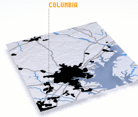 Places with similar names to Columbia, United States - USA ::
Disclaimer :: Information on this page comes without warranty of any kind |
||
|
Where is Columbia? Elevation and coordinates ::
Latitude (lat): 39°14'25"N Longitude (lon): 76°50'23"W
Elevation (approx.): 121m (map arrows pan, magnifying glasses zoom) |
||
|
Visiting Columbia? Hotel/Accommodation ::
Book a hotel in Columbia Travel Guide ::
rental cars ::
car rental offers GPS waypoint ::
download a GPX waypoint (PoI) of Columbia for your GPS receiver
|
||