|
search place name
|
||
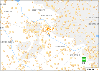
Gray (Maryland, United States - USA)Gray is a town in the Maryland region of United States - USA. An overview map of the region around Gray is displayed below.
regional and 3d topo map of Gray, United States - USA ::
Gray airports ::
The nearest airport is BWI - Baltimore Washington Intl, located 13.6 km south east of Gray.
Other airports nearby include DCA - Ronald Reagan Washington Natl (50.0 km south west), ADW - Camp Springs Andrews Afb (Washington Dc Naf) (50.1 km south), APG - Aberdeen Phillips Aaf (58.0 km north east), IAD - Washington Dulles Intl (67.6 km south west), Nearby towns ::
Grays Level (0.6km north) //
Timber Point (1.7km north) //
Worthington (1.7km south) //
Ellicott City (1.6km north west) //
Oella (1.9km north) //
Thistle (1.7km east) //
Frederick Village (1.8km north east) //
Stonecrest Hills (1.7km west) //
Chalfone Manor (2.2km north) //
Ilchester (1.9km east) //
Hilltop (2.2km north west) //
Rockwell (2.4km north) //
Brittany (2.0km west) //
Garrian Orchards (2.4km south west) //
Autumn Hill (2.2km west) //
Wheatfield Way (2.4km south west) //
Windwood (2.4km east) //
Bonnie Acres (3.0km south) //
Chapelview (2.6km north west) //
Ellicott Hills (2.6km north west) //
Linwood (2.8km north west) //
Knollview (3.0km south west) //
Ridgeway (2.8km north east) //
Montgomery Knolls (2.8km south west) //
Bonnie Brae (3.2km south) //
Brampton Hills (2.8km south west) //
Braebrooke (2.8km north west) //
Westchester (3.0km north east) //
The Oaks (3.3km north) //
[all distances 'as the bird flies' and approximate] 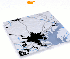 Places with similar names to Gray, United States - USA ::
Disclaimer :: Information on this page comes without warranty of any kind |
||
|
Where is Gray? Elevation and coordinates ::
Latitude (lat): 39°15'26"N Longitude (lon): 76°47'9"W
Elevation (approx.): 117m (map arrows pan, magnifying glasses zoom) |
||
|
Visiting Gray? Hotel/Accommodation ::
Book a hotel in Gray Travel Guide ::
rental cars ::
car rental offers GPS waypoint ::
download a GPX waypoint (PoI) of Gray for your GPS receiver
|
||