|
search place name
|
||
Nanticoke (Maryland, United States - USA)Nanticoke is a town in the Maryland region of United States - USA. An overview map of the region around Nanticoke is displayed below.
regional and 3d topo map of Nanticoke, United States - USA ::

Nanticoke airports ::
The nearest airport is SBY - Salisbury Ocean City Wicomico Rgnl, located 35.4 km east of Nanticoke.
Other airports nearby include NHK - Patuxent River Nas (44.3 km west), DOV - Dover Afb (102.6 km north), ADW - Camp Springs Andrews Afb (Washington Dc Naf) (102.9 km north west), DCA - Ronald Reagan Washington Natl (117.8 km north west), Nearby towns ::
Nanticoke Acres (1.6km south) //
Jesterville (1.8km north east) //
Waterview (2.8km south) //
Twin River Trailer Park (3.3km north east) //
Bivalve (4.0km north) //
Briar Patch (5.4km north) //
Tyaskin (6.2km north east) //
Tyaskin Estates (6.5km north east) //
Coxs Corner (6.3km north east) //
Pine Beach (6.8km south east) //
Wetipquin (8.8km north east) //
Deep Branch (8.4km north east) //
[all distances 'as the bird flies' and approximate] 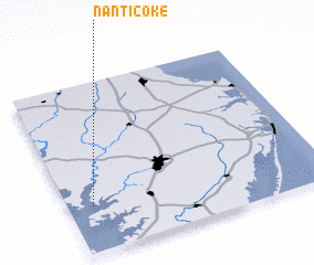 Places with similar names to Nanticoke, United States - USA ::
Disclaimer :: Information on this page comes without warranty of any kind |
||
|
Where is Nanticoke? Elevation and coordinates ::
Latitude (lat): 38°16'20"N Longitude (lon): 75°54'21"W
Elevation (approx.): 5m (map arrows pan, magnifying glasses zoom) |
||
|
Visiting Nanticoke? Hotel/Accommodation ::
Book a hotel in Nanticoke Travel Guide ::
rental cars ::
car rental offers GPS waypoint ::
download a GPX waypoint (PoI) of Nanticoke for your GPS receiver
|
||