|
search place name
|
||
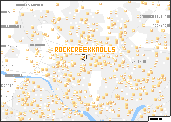
Rock Creek Knolls (Maryland, United States - USA)Rock Creek Knolls is a town in the Maryland region of United States - USA. An overview map of the region around Rock Creek Knolls is displayed below.
regional and 3d topo map of Rock Creek Knolls, United States - USA ::
Rock Creek Knolls airports ::
The nearest airport is DCA - Ronald Reagan Washington Natl, located 16.3 km south of Rock Creek Knolls.
Other airports nearby include ADW - Camp Springs Andrews Afb (Washington Dc Naf) (26.9 km south east), IAD - Washington Dulles Intl (34.3 km west), BWI - Baltimore Washington Intl (39.7 km north east), APG - Aberdeen Phillips Aaf (93.3 km north east), Nearby towns ::
Chevy Chase Lake (0.7km south west) //
Dunlops Hills (0.8km south) //
North Chevy Chase (0.7km north west) //
Parkview Estates (0.9km north) //
Spring Hill (0.9km north west) //
Rock Creek Forest (1.1km south east) //
Lyttonsville (1.1km north east) //
The Hamlet (1.4km south west) //
Rollingwood (1.6km south) //
Forest Glen Park (1.7km north) //
Chevy Chase Section Five (1.7km south west) //
Martins Addition (1.8km south) //
Rock Creek Hills (2.0km north) //
Martins Additions (2.0km south) //
Chevy Chase Manor (2.1km south) //
Larchmont Knolls (1.9km north west) //
Rock Creek Gardens (1.7km east) //
Linden (1.9km north east) //
Hawthorne (2.1km south east) //
Chevy Chase Section Three (2.2km south) //
Forest Glen (2.1km north east) //
Columbia Forest (1.9km south west) //
Rock Creek Gardens (2.0km south east) //
Rosemary Hills (1.9km east) //
West Chevy Chase Heights (1.9km west) //
Montgomery Hills (2.1km north east) //
Barnaby Woods (2.6km south) //
Byeforde (2.3km north west) //
Capitol View Park (2.8km north) //
[all distances 'as the bird flies' and approximate] 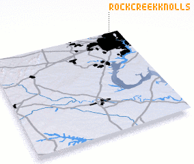 Places with similar names to Rock Creek Knolls, United States - USA :: Disclaimer :: Information on this page comes without warranty of any kind |
||
|
Where is Rock Creek Knolls? Elevation and coordinates ::
Latitude (lat): 38°59'50"N Longitude (lon): 77°3'57"W
Elevation (approx.): 68m (map arrows pan, magnifying glasses zoom) |
||
|
Visiting Rock Creek Knolls? Hotel/Accommodation ::
Book a hotel in Rock Creek Knolls Travel Guide ::
rental cars ::
car rental offers GPS waypoint ::
download a GPX waypoint (PoI) of Rock Creek Knolls for your GPS receiver
|
||