|
search place name
|
||
Harris (Massachusetts, United States - USA)Harris is a town in the Massachusetts region of United States - USA. An overview map of the region around Harris is displayed below.
regional and 3d topo map of Harris, United States - USA ::

Harris airports ::
The nearest airport is PVD - Providence Theodore Francis Green State, located 12.7 km south west of Harris.
Other airports nearby include BOS - Boston General Edward Lawrence Logan Intl (66.2 km north), BED - Bedford Laurence G Hanscom Fld (72.9 km north), CEF - Chicopee Falls Westover Arb Metropolitan (109.7 km north west), HFD - Hartford Brainard (111.5 km west), Nearby towns ::
Luthers Corners (2.1km west) //
Seekonk (2.2km west) //
South Seekonk (2.8km south) //
Luthers Corners (2.3km west) //
South Rehoboth (2.7km south east) //
Monroes (4.3km south) //
East Providence Center (3.7km north west) //
Carpenters Corner (3.8km west) //
Leonard Corner (3.9km west) //
Barneyville (5.2km south east) //
Rumford (4.8km north west) //
Miles Bridge (5.2km south east) //
Kent Heights (4.5km west) //
Armington Corner (4.6km west) //
Six Corners (4.7km west) //
Kent Corner (5.7km south west) //
Ingrams Corner (4.8km west) //
East Providence (4.8km west) //
Silver Spring (5.4km south west) //
Peck Corner (6.7km south) //
Vue de l'eau (5.6km south west) //
Phillipsdale (5.8km north west) //
North Swansea (6.5km south east) //
Rehoboth (6.0km north east) //
Riverside (6.8km south west) //
Perryville (7.0km north east) //
Perrins Crossing (8.1km north) //
Barrington (8.2km south) //
Bay Spring (7.9km south) //
[all distances 'as the bird flies' and approximate] 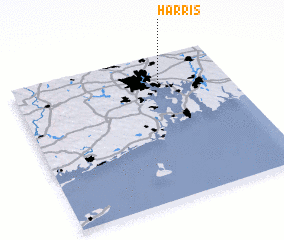 Places with similar names to Harris, United States - USA ::
Disclaimer :: Information on this page comes without warranty of any kind |
||
|
Where is Harris? Elevation and coordinates ::
Latitude (lat): 41°48'50"N Longitude (lon): 71°18'45"W
Elevation (approx.): 29m (map arrows pan, magnifying glasses zoom) |
||
|
Visiting Harris? Hotel/Accommodation ::
Book a hotel in Harris Travel Guide ::
rental cars ::
car rental offers GPS waypoint ::
download a GPX waypoint (PoI) of Harris for your GPS receiver
|
||