|
search place name
|
||
Putnamville (Massachusetts, United States - USA)Putnamville is a town in the Massachusetts region of United States - USA. An overview map of the region around Putnamville is displayed below.
regional and 3d topo map of Putnamville, United States - USA ::

nearby GPS traces from timatio ::
Putnamville airports ::
The nearest airport is BOS - Boston General Edward Lawrence Logan Intl, located 25.3 km south of Putnamville.
Other airports nearby include BED - Bedford Laurence G Hanscom Fld (31.6 km south west), PVD - Providence Theodore Francis Green State (102.9 km south west), PWM - Portland Intl Jetport (128.4 km north east), CEF - Chicopee Falls Westover Arb Metropolitan (138.5 km west), Nearby towns ::
Danvers (1.4km south east) //
Ferncroft (1.9km south west) //
Danvers Center (2.5km south west) //
Tapleyville (3.7km south) //
Hathorne (3.1km west) //
Danversport (4.4km south) //
Wenham (4.3km north east) //
North Beverly (4.1km east) //
Topsfield (5.8km north) //
Burleys Corner (4.4km west) //
Proctor (5.8km south) //
Rial Side (5.3km south east) //
Middleton Colony (4.6km west) //
Peabody (6.5km south) //
Howe (5.1km west) //
South Hamilton (5.3km north east) //
Beverly (5.6km south east) //
Kinsman Corner (6.5km north west) //
Asbury Grove (5.9km north east) //
North Salem (7.1km south) //
Needham Corner (7.6km south) //
West Peabody (6.5km south west) //
Montserrat (6.4km south east) //
South Peabody (8.6km south) //
Brigadoon Village (6.4km west) //
Salem (8.1km south east) //
Middleton (6.6km west) //
Derby Wharf (8.5km south east) //
South Salem (9.1km south east) //
[all distances 'as the bird flies' and approximate] 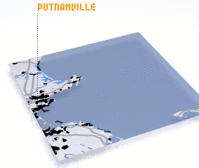 Places with similar names to Putnamville, United States - USA ::
Disclaimer :: Information on this page comes without warranty of any kind |
||
|
Where is Putnamville? Elevation and coordinates ::
Latitude (lat): 42°35'10"N Longitude (lon): 70°56'15"W
Elevation (approx.): 38m (map arrows pan, magnifying glasses zoom) |
||
|
Visiting Putnamville? Hotel/Accommodation ::
Book a hotel in Putnamville Travel Guide ::
rental cars ::
car rental offers GPS waypoint ::
download a GPX waypoint (PoI) of Putnamville for your GPS receiver
|
||