|
search place name
|
||
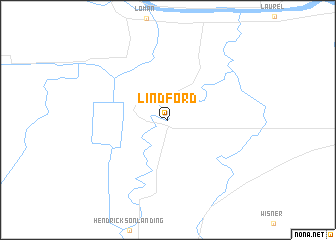
Lindford (Minnesota, United States - USA)Lindford is a town in the Minnesota region of United States - USA. An overview map of the region around Lindford is displayed below.
regional and 3d topo map of Lindford, United States - USA ::
Lindford airports ::
The nearest airport is INL - International Falls Falls Intl, located 32.9 km north east of Lindford.
Other airports nearby include BDE - Baudette Intl (70.7 km north west), HIB - Chisholm Hibbing (133.9 km south east), YQK - Kenora (159.0 km north), YHD - Dryden Rgnl (175.2 km north east), Nearby towns ::
[all distances 'as the bird flies' and approximate] 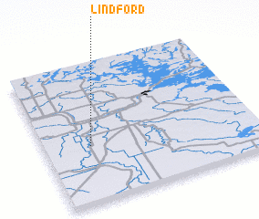 Places with similar names to Lindford, United States - USA ::
Disclaimer :: Information on this page comes without warranty of any kind |
||
|
Where is Lindford? Elevation and coordinates ::
Latitude (lat): 48°24'39"N Longitude (lon): 93°46'54"W
Elevation (approx.): 346m (map arrows pan, magnifying glasses zoom) |
||
|
Visiting Lindford? Hotel/Accommodation ::
Book a hotel in Lindford Travel Guide ::
rental cars ::
car rental offers GPS waypoint ::
download a GPX waypoint (PoI) of Lindford for your GPS receiver
|
||