|
search place name
|
||
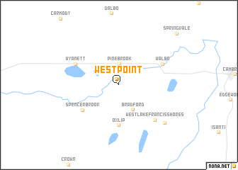
West Point (Minnesota, United States - USA)West Point is a town in the Minnesota region of United States - USA. An overview map of the region around West Point is displayed below.
regional and 3d topo map of West Point, United States - USA ::
West Point airports ::
The nearest airport is MSP - Minneapolis St Paul Intl, located 76.2 km south of West Point.
Other airports nearby include DLH - Duluth Intl (170.0 km north east), HIB - Chisholm Hibbing (207.6 km north), Nearby towns ::
Pine Brook (3.2km north) //
Bradford (4.2km south) //
Oxlip (6.4km south) //
Spencer Brook (5.6km south west) //
Wyanett (5.8km north west) //
Walbo (5.8km north east) //
West Lake Francis Shores (6.9km south east) //
East Lake Francis Shores (7.9km south east) //
[all distances 'as the bird flies' and approximate] 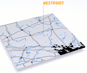 Places with similar names to West Point, United States - USA ::
// West Point (US)
// West Point (US)
// West Point (US)
// West Point (US)
// West Point (US)
// West Point (US)
// West Point (US)
// West Point (US)
// West Point (US)
// Westpoint (US)
Disclaimer :: Information on this page comes without warranty of any kind |
||
|
Where is West Point? Elevation and coordinates ::
Latitude (lat): 45°33'28"N Longitude (lon): 93°23'20"W
Elevation (approx.): 285m (map arrows pan, magnifying glasses zoom) |
||
|
Visiting West Point? Hotel/Accommodation ::
Book a hotel in West Point Travel Guide ::
rental cars ::
car rental offers GPS waypoint ::
download a GPX waypoint (PoI) of West Point for your GPS receiver
|
||