|
search place name
|
||
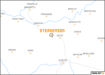
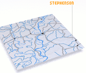
Stephenson (Mississippi, United States - USA)Stephenson is a town in the Mississippi region of United States - USA. An overview map of the region around Stephenson is displayed below.
regional and 3d topo map of Stephenson, United States - USA ::
Stephenson airports ::
The nearest airport is BTR - Baton Rouge Metro Ryan Fld, located 83.1 km south of Stephenson.
Other airports nearby include ESF - Alexandria Esler Rgnl (118.7 km west), AEX - Alexandria Intl (142.4 km west), JAN - Jackson Evers Intl (147.4 km north east), LFT - Lafayette Rgnl (148.7 km south west), Nearby towns ::
 Places with similar names to Stephenson, United States - USA ::
Disclaimer :: Information on this page comes without warranty of any kind |
||
|
Where is Stephenson? Elevation and coordinates ::
Latitude (lat): 31°16'42"N Longitude (lon): 91°3'20"W
Elevation (approx.): 60m (map arrows pan, magnifying glasses zoom) |
||
|
Visiting Stephenson? Hotel/Accommodation ::
Book a hotel in Stephenson Travel Guide ::
rental cars ::
car rental offers GPS waypoint ::
download a GPX waypoint (PoI) of Stephenson for your GPS receiver
|
||