|
search place name
|
||
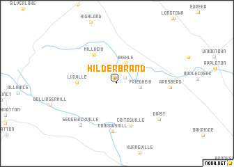
Hilderbrand (Missouri, United States - USA)Hilderbrand is a town in the Missouri region of United States - USA. An overview map of the region around Hilderbrand is displayed below.
regional and 3d topo map of Hilderbrand, United States - USA ::
Hilderbrand airports ::
The nearest airport is BLV - Belleville Scott Afb Midamerica, located 107.6 km north of Hilderbrand.
Other airports nearby include STL - St. Louis Lambert St Louis Intl (137.8 km north), BYH - Blytheville Arkansas Intl (179.0 km south), JBR - Jonesboro Muni (206.1 km south), MKL - Jackson Mc Kellar Sipes Rgnl (234.8 km south), Nearby towns ::
Dissen (1.4km north east) //
Biehle (3.5km north) //
Friedheim (3.1km east) //
Millheim (5.5km north west) //
Lixville (5.1km west) //
Critesville (6.9km south) //
Conrads Mill (7.7km south) //
Arnsberg (6.8km east) //
Sedgewickville (8.1km south west) //
Daisy (7.9km south east) //
[all distances 'as the bird flies' and approximate] 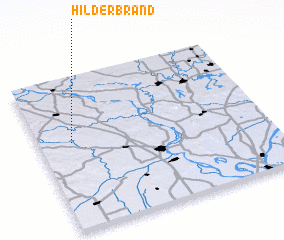 Places with similar names to Hilderbrand, United States - USA ::
// Hilderbrand (US)
// Hilderbrand (US)
Disclaimer :: Information on this page comes without warranty of any kind |
||
|
Where is Hilderbrand? Elevation and coordinates ::
Latitude (lat): 37°34'32"N Longitude (lon): 89°51'14"W
Elevation (approx.): 164m (map arrows pan, magnifying glasses zoom) |
||
|
Visiting Hilderbrand? Hotel/Accommodation ::
Book a hotel in Hilderbrand Travel Guide ::
rental cars ::
car rental offers GPS waypoint ::
download a GPX waypoint (PoI) of Hilderbrand for your GPS receiver
|
||