|
search place name
|
||
McElhany (Missouri, United States - USA)McElhany is a town in the Missouri region of United States - USA. An overview map of the region around McElhany is displayed below.
regional and 3d topo map of McElhany, United States - USA ::

McElhany airports ::
The nearest airport is FYV - Fayetteville Drake Fld, located 89.3 km south of McElhany.
Other airports nearby include HRO - Harrison Boone Co (125.8 km south east), TUL - Tulsa Intl (148.6 km south west), FSM - Fort Smith Rgnl (161.1 km south), SZL - Knobnoster Whiteman Afb (228.2 km north), Nearby towns ::
June (3.7km north east) //
Goodman (5.2km south) //
Erie (7.4km south east) //
Kelley Springs (8.3km south) //
Belfast (10.0km north west) //
[all distances 'as the bird flies' and approximate] 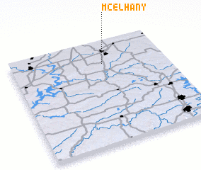
Disclaimer :: Information on this page comes without warranty of any kind |
||
|
Where is McElhany? Elevation and coordinates ::
Latitude (lat): 36°47'17"N Longitude (lon): 94°23'55"W
Elevation (approx.): 381m (map arrows pan, magnifying glasses zoom) |
||
|
Visiting McElhany? Hotel/Accommodation ::
Book a hotel in McElhany Travel Guide ::
rental cars ::
car rental offers GPS waypoint ::
download a GPX waypoint (PoI) of McElhany for your GPS receiver
|
||