|
search place name
|
||
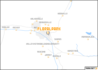
Floral Park (Montana, United States - USA)Floral Park is a town in the Montana region of United States - USA. An overview map of the region around Floral Park is displayed below.
regional and 3d topo map of Floral Park, United States - USA ::
Floral Park airports ::
The nearest airport is HLN - Helena Rgnl, located 79.4 km north east of Floral Park.
Other airports nearby include GTF - Great Falls Intl (187.1 km north east), Nearby towns ::
Silver Bow Park (1.6km north) //
East Butte (2.8km north) //
McQueen (3.8km north) //
Columbia Gardens (3.2km north east) //
Meaderville (4.1km north) //
Skones (3.5km south east) //
Valley Vista Mobile Home Community (4.6km south) //
Butte (3.7km north west) //
Pioneer (3.7km north west) //
AA Westside Mobile Estates (4.2km north west) //
Hamblin Heights Mobile Village (4.9km west) //
Williamsburg (5.0km west) //
Walkerville (6.3km north west) //
Centerville (5.9km north west) //
Newcomb (7.6km south) //
Janney (8.5km south) //
Woodville (8.2km north east) //
Highview (9.0km south east) //
[all distances 'as the bird flies' and approximate] 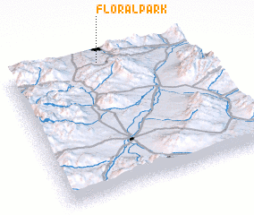 Places with similar names to Floral Park, United States - USA ::
Disclaimer :: Information on this page comes without warranty of any kind |
||
|
Where is Floral Park? Elevation and coordinates ::
Latitude (lat): 45°59'10"N Longitude (lon): 112°29'34"W
Elevation (approx.): 1682m (map arrows pan, magnifying glasses zoom) |
||
|
Visiting Floral Park? Hotel/Accommodation ::
Book a hotel in Floral Park Travel Guide ::
rental cars ::
car rental offers GPS waypoint ::
download a GPX waypoint (PoI) of Floral Park for your GPS receiver
|
||