|
search place name
|
||
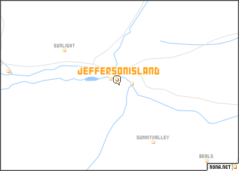
Jefferson Island (Montana, United States - USA)Jefferson Island is a town in the Montana region of United States - USA. An overview map of the region around Jefferson Island is displayed below.
regional and 3d topo map of Jefferson Island, United States - USA ::
Jefferson Island airports ::
The nearest airport is HLN - Helena Rgnl, located 84.1 km north of Jefferson Island.
Other airports nearby include GTF - Great Falls Intl (186.5 km north), Nearby towns ::
Cardwell (1.4km north west) //
La Hood Park (1.4km east) //
Sunlight (8.1km north west) //
[all distances 'as the bird flies' and approximate] 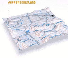 Places with similar names to Jefferson Island, United States - USA ::
// Jefferson Island (US)
Disclaimer :: Information on this page comes without warranty of any kind |
||
|
Where is Jefferson Island? Elevation and coordinates ::
Latitude (lat): 45°51'3"N Longitude (lon): 111°56'23"W
Elevation (approx.): 1301m (map arrows pan, magnifying glasses zoom) |
||
|
Visiting Jefferson Island? Hotel/Accommodation ::
Book a hotel in Jefferson Island Travel Guide ::
rental cars ::
car rental offers GPS waypoint ::
download a GPX waypoint (PoI) of Jefferson Island for your GPS receiver
|
||