|
search place name
|
||
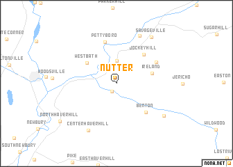
Nutter (New Hampshire, United States - USA)Nutter is a town in the New Hampshire region of United States - USA. An overview map of the region around Nutter is displayed below.
regional and 3d topo map of Nutter, United States - USA ::
Nutter airports ::
The nearest airport is BTV - Burlington Intl, located 103.0 km west of Nutter.
Other airports nearby include PWM - Portland Intl Jetport (142.6 km east), YSC - Sherbrooke (145.2 km north), YJN - St. Jean St Jean (165.9 km north west), YHU - Montreal St Hubert (191.9 km north west), Nearby towns ::
Swiftwater (1.4km south) //
Bath (3.0km north west) //
Upper Village (3.6km north) //
West Bath (4.7km north west) //
Ireland (4.4km east) //
Jockey Hill (5.6km north east) //
Benton (5.8km south east) //
Pettyboro (6.7km north) //
Landaff Center (5.7km north east) //
Lisbon (8.1km north) //
Center Haverhill (8.2km south west) //
Boutin Corner (7.6km south east) //
Savageville (8.5km north east) //
[all distances 'as the bird flies' and approximate] 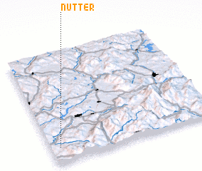 Places with similar names to Nutter, United States - USA ::
Disclaimer :: Information on this page comes without warranty of any kind |
||
|
Where is Nutter? Elevation and coordinates ::
Latitude (lat): 44°8'41"N Longitude (lon): 71°56'43"W
Elevation (approx.): 274m (map arrows pan, magnifying glasses zoom) |
||
|
Visiting Nutter? Hotel/Accommodation ::
Book a hotel in Nutter Travel Guide ::
rental cars ::
car rental offers GPS waypoint ::
download a GPX waypoint (PoI) of Nutter for your GPS receiver
|
||