|
search place name
|
||
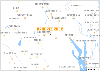
Baker Corner (New York, United States - USA)Baker Corner is a town in the New York region of United States - USA. An overview map of the region around Baker Corner is displayed below.
regional and 3d topo map of Baker Corner, United States - USA ::
Baker Corner airports ::
The nearest airport is SWF - Newburgh Stewart Intl, located 46.1 km west of Baker Corner.
Other airports nearby include HPN - White Plains Westchester Co (59.1 km south), BDR - Stratford Igor I Sikorsky Mem (59.6 km south east), HFD - Hartford Brainard (77.9 km east), BDL - Windsor Locks Bradley Intl (82.9 km north east), Nearby towns ::
Hurd Corners (1.7km west) //
Quaker Hill (1.9km south east) //
Pawling (4.4km south west) //
Wiley Shelter (6.1km north east) //
Wingdale (6.6km north) //
Webatuck (7.4km north) //
Sherman (5.7km east) //
Woodinville (5.9km west) //
South Dover (8.2km north) //
Lakeside Woods (6.4km east) //
Atchison Cove (6.7km east) //
Patterson (9.0km south west) //
Gaylordsville (9.3km north east) //
Merwinsville (9.4km north east) //
West Patterson (10.3km south west) //
[all distances 'as the bird flies' and approximate] 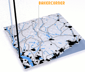 Places with similar names to Baker Corner, United States - USA ::
// Baker Corner (US)
// Baker Corner (US)
Disclaimer :: Information on this page comes without warranty of any kind |
||
|
Where is Baker Corner? Elevation and coordinates ::
Latitude (lat): 41°35'15"N Longitude (lon): 73°33'48"W
Elevation (approx.): 264m (map arrows pan, magnifying glasses zoom) |
||
|
Visiting Baker Corner? Hotel/Accommodation ::
Book a hotel in Baker Corner Travel Guide ::
rental cars ::
car rental offers GPS waypoint ::
download a GPX waypoint (PoI) of Baker Corner for your GPS receiver
|
||