|
search place name
|
||
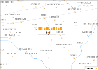
Darien Center (New York, United States - USA)Darien Center is a town in the New York region of United States - USA. An overview map of the region around Darien Center is displayed below.
regional and 3d topo map of Darien Center, United States - USA ::
Darien Center airports ::
The nearest airport is BUF - Buffalo Niagara Intl, located 28.4 km west of Darien Center.
Other airports nearby include IAG - Niagara Falls Intl (50.9 km north west), ROC - Greater Rochester Intl (63.2 km north east), YTZ - Toronto City Centre (114.9 km north west), YZD - Toronto Downsview (127.9 km north west), Nearby towns ::
Darien (3.1km east) //
Sawens (4.1km north east) //
Griswold (3.7km east) //
Fargo (4.8km north west) //
Longwood (6.0km north) //
Corfu (6.7km north) //
Bennington (7.2km south) //
East Bennington (6.3km south east) //
Lehigh (6.6km north east) //
Danley Corners (8.1km south east) //
Folsomdale (9.5km south west) //
[all distances 'as the bird flies' and approximate] 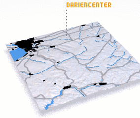 Places with similar names to Darien Center, United States - USA :: Disclaimer :: Information on this page comes without warranty of any kind |
||
|
Where is Darien Center? Elevation and coordinates ::
Latitude (lat): 42°54'4"N Longitude (lon): 78°23'20"W
Elevation (approx.): 310m (map arrows pan, magnifying glasses zoom) |
||
|
Visiting Darien Center? Hotel/Accommodation ::
Book a hotel in Darien Center Travel Guide ::
rental cars ::
car rental offers GPS waypoint ::
download a GPX waypoint (PoI) of Darien Center for your GPS receiver
|
||