|
search place name
|
||
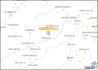
Dwaarkill (New York, United States - USA)Dwaarkill is a town in the New York region of United States - USA. An overview map of the region around Dwaarkill is displayed below.
regional and 3d topo map of Dwaarkill, United States - USA ::
Dwaarkill airports ::
The nearest airport is SWF - Newburgh Stewart Intl, located 20.8 km south east of Dwaarkill.
Other airports nearby include HPN - White Plains Westchester Co (79.6 km south east), TEB - Teterboro (90.3 km south), LGA - New York La Guardia (102.2 km south), EWR - Newark Liberty Intl (106.5 km south), Nearby towns ::
Red Mills (2.4km south) //
Rutsonville (2.7km north east) //
Awosting (3.2km north west) //
Bruynswick (3.3km east) //
Pine Bush (5.4km south west) //
Crawford (5.4km west) //
Galeville (6.2km east) //
Van Keuren (7.5km south west) //
Ulsterville (7.4km south west) //
Benton Corners (8.1km north east) //
Wallkill (8.2km south east) //
[all distances 'as the bird flies' and approximate] 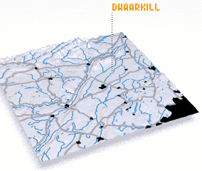 Places with similar names to Dwaarkill, United States - USA ::
// Towār Gola (PK)
Disclaimer :: Information on this page comes without warranty of any kind |
||
|
Where is Dwaarkill? Elevation and coordinates ::
Latitude (lat): 41°38'55"N Longitude (lon): 74°15'51"W
Elevation (approx.): 121m (map arrows pan, magnifying glasses zoom) |
||
|
Visiting Dwaarkill? Hotel/Accommodation ::
Book a hotel in Dwaarkill Travel Guide ::
rental cars ::
car rental offers GPS waypoint ::
download a GPX waypoint (PoI) of Dwaarkill for your GPS receiver
|
||