|
search place name
|
||
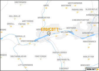
Endicott (New York, United States - USA)Endicott is a town in the New York region of United States - USA. An overview map of the region around Endicott is displayed below.
regional and 3d topo map of Endicott, United States - USA ::
Endicott airports ::
The nearest airport is SYR - Syracuse Hancock Intl, located 112.6 km north of Endicott.
Other airports nearby include IPT - Williamsport Rgnl (119.6 km south west), SWF - Newburgh Stewart Intl (174.6 km east), ROC - Greater Rochester Intl (174.9 km north west), MUI - Muir Aaf (189.8 km south), Nearby towns ::
Vestal (1.5km south) //
Twin Orchard (1.9km east) //
West Corners (2.3km north west) //
Endwell (2.8km north east) //
Union Center (6.1km north) //
Willow Point (4.9km east) //
Ross Corners (5.4km south west) //
Crest View Heights (6.3km south west) //
Vestal Corner (7.8km south) //
Westover (6.4km east) //
Whittemore (7.6km north west) //
Tracy Creek (9.1km south) //
[all distances 'as the bird flies' and approximate] 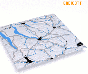 Places with similar names to Endicott, United States - USA ::
Disclaimer :: Information on this page comes without warranty of any kind |
||
|
Where is Endicott? Elevation and coordinates ::
Latitude (lat): 42°5'54"N Longitude (lon): 76°2'59"W
Elevation (approx.): 258m (map arrows pan, magnifying glasses zoom) |
||
|
Visiting Endicott? Hotel/Accommodation ::
Book a hotel in Endicott Travel Guide ::
rental cars ::
car rental offers GPS waypoint ::
download a GPX waypoint (PoI) of Endicott for your GPS receiver
|
||