|
search place name
|
||
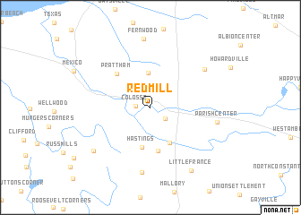
Red Mill (New York, United States - USA)Red Mill is a town in the New York region of United States - USA. An overview map of the region around Red Mill is displayed below.
regional and 3d topo map of Red Mill, United States - USA ::
Red Mill airports ::
The nearest airport is SYR - Syracuse Hancock Intl, located 34.3 km south of Red Mill.
Other airports nearby include ART - Watertown Intl (64.5 km north), GTB - Fort Drum Wheeler Sack Aaf (78.6 km north east), YGK - Kingston (96.8 km north), ROC - Greater Rochester Intl (128.5 km west), Nearby towns ::
Colosse (1.3km west) //
Parish (1.9km south east) //
Graftons Square (2.8km north) //
Maple View (4.3km north) //
Carley Mills (4.7km south) //
Hastings (5.0km south) //
Morse (5.4km south) //
Prattham (5.2km north west) //
Bardeen Corners (8.2km south) //
Dugway (6.9km north east) //
Parish Center (6.3km east) //
Fernwood (8.6km north) //
Catfish Corners (7.5km south west) //
Little France (8.7km south east) //
[all distances 'as the bird flies' and approximate] 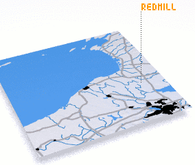 Places with similar names to Red Mill, United States - USA ::
// Radmühl (DE)
// Radmühl (DE)
// Rio de Mel (PT)
// Rio de Mel (PT)
// Ruda Mała (PL)
// Radomile (BA)
// Radumili (BA)
// Retamal (ES)
// Retamal (ES)
// Red Mill (US)
Disclaimer :: Information on this page comes without warranty of any kind |
||
|
Where is Red Mill? Elevation and coordinates ::
Latitude (lat): 43°25'6"N Longitude (lon): 76°8'35"W
Elevation (approx.): 141m (map arrows pan, magnifying glasses zoom) |
||
|
Visiting Red Mill? Hotel/Accommodation ::
Book a hotel in Red Mill Travel Guide ::
rental cars ::
car rental offers GPS waypoint ::
download a GPX waypoint (PoI) of Red Mill for your GPS receiver
|
||