|
search place name
|
||
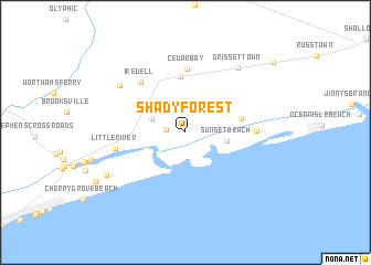
Shady Forest (North Carolina, United States - USA)Shady Forest is a town in the North Carolina region of United States - USA. An overview map of the region around Shady Forest is displayed below.
regional and 3d topo map of Shady Forest, United States - USA ::
Shady Forest airports ::
The nearest airport is MYR - Myrtle Beach Intl, located 41.9 km south west of Shady Forest.
Other airports nearby include ILM - Wilmington Intl (73.4 km north east), FLO - Florence Rgnl (113.3 km west), NCA - Jacksonville New River Mcas (136.9 km north east), POB - Fayetteville Pope Afb (148.6 km north), Nearby towns ::
Calabash (1.7km west) //
Carolina Shores (3.1km north west) //
Sunset Beach (3.6km east) //
Thomasboro (5.7km north) //
Sea Trail Plantation (4.9km east) //
Cedar Bay (6.4km north) //
Iredell (6.3km north west) //
Seaside (6.0km east) //
Little River (6.1km west) //
Hickmans Crossroads (7.3km north west) //
Grissettown (7.9km north east) //
The Old Home Place (7.9km south west) //
[all distances 'as the bird flies' and approximate] 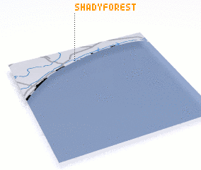 Places with similar names to Shady Forest, United States - USA :: Disclaimer :: Information on this page comes without warranty of any kind |
||
|
Where is Shady Forest? Elevation and coordinates ::
Latitude (lat): 33°53'16"N Longitude (lon): 78°33'2"W
Elevation (approx.): -5m (map arrows pan, magnifying glasses zoom) |
||
|
Visiting Shady Forest? Hotel/Accommodation ::
Book a hotel in Shady Forest Travel Guide ::
rental cars ::
car rental offers GPS waypoint ::
download a GPX waypoint (PoI) of Shady Forest for your GPS receiver
|
||