|
search place name
|
||
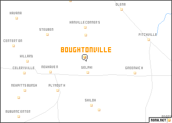
Boughtonville (Ohio, United States - USA)Boughtonville is a town in the Ohio region of United States - USA. An overview map of the region around Boughtonville is displayed below.
regional and 3d topo map of Boughtonville, United States - USA ::
Boughtonville airports ::
The nearest airport is CLE - Cleveland Hopkins Intl, located 75.3 km north east of Boughtonville.
Other airports nearby include AKR - Akron Fulton Intl (96.2 km east), CMH - Port Columbus Intl (119.5 km south), YQG - Windsor (138.8 km north), LCK - Columbus Rickenbacker Intl (140.1 km south), Nearby towns ::
Delphi (2.4km south) //
North Fairfield (5.7km north) //
Hanville Corners (7.4km north) //
New Haven (6.3km west) //
Plymouth (7.9km south west) //
Steuben (8.6km north west) //
[all distances 'as the bird flies' and approximate] 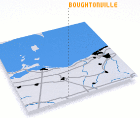 Places with similar names to Boughtonville, United States - USA ::
// Baiting Hollow (US)
// Battenville (US)
// Boutonville (US)
// Bayt Nāfilah (SY)
// Boutonville (BE)
// Bouedianfla (CI)
Disclaimer :: Information on this page comes without warranty of any kind |
||
|
Where is Boughtonville? Elevation and coordinates ::
Latitude (lat): 41°3'9"N Longitude (lon): 82°36'41"W
Elevation (approx.): 300m (map arrows pan, magnifying glasses zoom) |
||
|
Visiting Boughtonville? Hotel/Accommodation ::
Book a hotel in Boughtonville Travel Guide ::
rental cars ::
car rental offers GPS waypoint ::
download a GPX waypoint (PoI) of Boughtonville for your GPS receiver
|
||