|
search place name
|
||
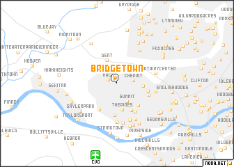
Bridgetown (Ohio, United States - USA)Bridgetown is a town in the Ohio region of United States - USA. An overview map of the region around Bridgetown is displayed below.
regional and 3d topo map of Bridgetown, United States - USA ::
Bridgetown airports ::
The nearest airport is CVG - Cincinnati Northern Kentucky Intl, located 11.9 km south of Bridgetown.
Other airports nearby include LUK - Cincinnati Muni Lunken Fld (19.7 km east), FFO - Dayton Wright Patterson Afb (90.3 km north east), DAY - James M Cox Dayton Intl (90.6 km north east), LOU - Louisville Bowman Fld (136.1 km south west), Nearby towns ::
Mack (1.2km north west) //
Cheviot (2.1km east) //
Summit (3.2km south east) //
Dent (3.8km north) //
Westwood (3.3km east) //
The Pines (4.3km south) //
Fashion Heights (4.7km south) //
Covedale (4.4km south east) //
Mountview (4.7km south west) //
Werk Place (4.0km east) //
Cotillion Village (5.1km south) //
Monterey (5.1km south east) //
LaFeuille Terrace (4.5km south east) //
Eileen Gardens (6.1km south) //
Mount Saint Joseph (6.3km south) //
Saint Jacobs (5.9km north east) //
Mount Airy Center (5.0km east) //
Sunaire (6.4km south) //
Cyclorama Heights (5.1km east) //
Placid Meadows (6.2km south) //
Delhi Hills (7.0km south) //
Highland Park (7.1km south) //
Sayler Park (6.4km south west) //
Oakdale (7.0km north east) //
Delhi (7.0km south east) //
Taylors Creek (7.1km north west) //
Fernbank (6.4km south west) //
White Oak (7.4km north east) //
Stringtown (8.0km south) //
[all distances 'as the bird flies' and approximate] 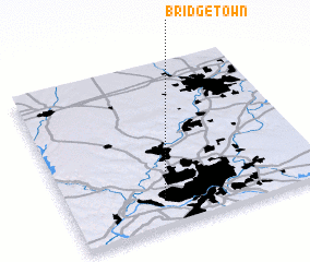 Places with similar names to Bridgetown, United States - USA ::
// Bridgeton (US)
// Bargytown (US)
// Bridgetown (US)
// Bridgeton (US)
// Brejdyny (PL)
// Bridgetown (ZA)
// Bridgetown (US)
// Bridgeton (US)
// Bridgeton (US)
// Bridgeton (US)
Disclaimer :: Information on this page comes without warranty of any kind |
||
|
Where is Bridgetown? Elevation and coordinates ::
Latitude (lat): 39°9'11"N Longitude (lon): 84°38'14"W
Elevation (approx.): 274m (map arrows pan, magnifying glasses zoom) |
||
|
Visiting Bridgetown? Hotel/Accommodation ::
Book a hotel in Bridgetown Travel Guide ::
rental cars ::
car rental offers GPS waypoint ::
download a GPX waypoint (PoI) of Bridgetown for your GPS receiver
|
||