|
search place name
|
||
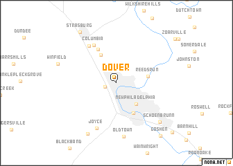
Dover (Ohio, United States - USA)Dover is a town in the Ohio region of United States - USA. An overview map of the region around Dover is displayed below.
regional and 3d topo map of Dover, United States - USA ::
Dover airports ::
The nearest airport is AKR - Akron Fulton Intl, located 57.4 km north of Dover.
Other airports nearby include CLE - Cleveland Hopkins Intl (103.9 km north), PIT - Pittsburgh (pennsylva) Pittsburgh Intl (105.3 km east), YNG - Youngstown Warren Rgnl (106.0 km north east), CMH - Port Columbus Intl (133.8 km south west), Nearby towns ::
Willow Glen (1.5km south west) //
New Philadelphia (4.2km south east) //
Parral (4.9km north west) //
Reeds Run (4.0km east) //
South Side (5.3km south east) //
Loudon (5.9km north west) //
Columbia (6.7km north west) //
Beartown (6.9km north west) //
Joyce (7.7km south) //
Old Town (8.7km south) //
Yorktown (8.9km south west) //
Schoenbrunn (8.3km south east) //
Strasburg (9.4km north west) //
Goshen (10.1km south east) //
[all distances 'as the bird flies' and approximate] 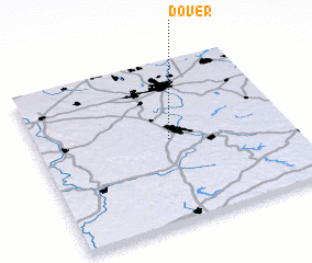 Places with similar names to Dover, United States - USA ::
Disclaimer :: Information on this page comes without warranty of any kind |
||
|
Where is Dover? Elevation and coordinates ::
Latitude (lat): 40°31'14"N Longitude (lon): 81°28'27"W
Elevation (approx.): 271m (map arrows pan, magnifying glasses zoom) |
||
|
Visiting Dover? Hotel/Accommodation ::
Book a hotel in Dover Travel Guide ::
rental cars ::
car rental offers GPS waypoint ::
download a GPX waypoint (PoI) of Dover for your GPS receiver
|
||