|
search place name
|
||
Farnham (Ohio, United States - USA)Farnham is a town in the Ohio region of United States - USA. An overview map of the region around Farnham is displayed below.
regional and 3d topo map of Farnham, United States - USA ::

Farnham airports ::
The nearest airport is YNG - Youngstown Warren Rgnl, located 71.6 km south of Farnham.
Other airports nearby include CLE - Cleveland Hopkins Intl (119.5 km south west), AKR - Akron Fulton Intl (121.5 km south west), YXU - London (134.9 km north), YHM - Hamilton (150.8 km north), Nearby towns ::
Bushnell (4.2km south) //
East Conneaut (4.9km north east) //
Lakeville (5.5km north) //
Conneaut (5.4km north) //
Amboy (4.7km north west) //
Monroe Center (6.2km south) //
Kelloggsville (6.1km south west) //
Camp Calvary (6.6km north west) //
Camp Luther (7.7km north west) //
[all distances 'as the bird flies' and approximate] 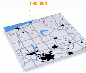 Places with similar names to Farnham, United States - USA ::
Disclaimer :: Information on this page comes without warranty of any kind |
||
|
Where is Farnham? Elevation and coordinates ::
Latitude (lat): 41°54'1"N Longitude (lon): 80°34'19"W
Elevation (approx.): 257m (map arrows pan, magnifying glasses zoom) |
||
|
Visiting Farnham? Hotel/Accommodation ::
Book a hotel in Farnham Travel Guide ::
rental cars ::
car rental offers GPS waypoint ::
download a GPX waypoint (PoI) of Farnham for your GPS receiver
|
||