|
search place name
|
||
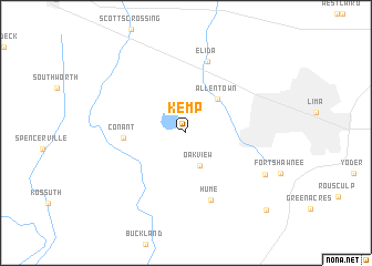
Kemp (Ohio, United States - USA)Kemp is a town in the Ohio region of United States - USA. An overview map of the region around Kemp is displayed below.
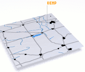
regional and 3d topo map of Kemp, United States - USA ::
Kemp airports ::
The nearest airport is DAY - James M Cox Dayton Intl, located 91.2 km south of Kemp.
Other airports nearby include FFO - Dayton Wright Patterson Afb (100.8 km south), CMH - Port Columbus Intl (138.9 km south east), LCK - Columbus Rickenbacker Intl (149.5 km south east), GUS - Peru Grissom Arb (163.3 km west), Nearby towns ::
 Places with similar names to Kemp, United States - USA ::
Disclaimer :: Information on this page comes without warranty of any kind |
||
|
Where is Kemp? Elevation and coordinates ::
Latitude (lat): 40°43'25"N Longitude (lon): 84°13'24"W
Elevation (approx.): 255m (map arrows pan, magnifying glasses zoom) |
||
|
Visiting Kemp? Hotel/Accommodation ::
Book a hotel in Kemp Travel Guide ::
rental cars ::
car rental offers GPS waypoint ::
download a GPX waypoint (PoI) of Kemp for your GPS receiver
|
||