|
search place name
|
||
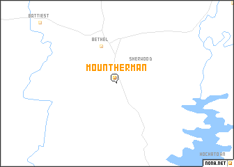
Mount Herman (Oklahoma, United States - USA)Mount Herman is a town in the Oklahoma region of United States - USA. An overview map of the region around Mount Herman is displayed below.
regional and 3d topo map of Mount Herman, United States - USA ::
Mount Herman airports ::
The nearest airport is MLC - Mcalester Mc Alester Rgnl, located 109.5 km north west of Mount Herman.
Other airports nearby include TXK - Texarkana Rgnl Webb Fld (121.4 km south east), FSM - Fort Smith Rgnl (121.4 km north), FYV - Fayetteville Drake Fld (197.4 km north), GGG - Longview East Texas Rgnl (213.4 km south), Nearby towns ::
 Places with similar names to Mount Herman, United States - USA ::
// Mount Herman (US)
// Mount Hermon (US)
// Mount Hermon (US)
// Mount Harmon (US)
// Mount Harmony (US)
// Mount Hermon (US)
// Mount Herman (US)
// Mount Hermon (US)
// Mount Herman (US)
// Mount Herman (US)
Disclaimer :: Information on this page comes without warranty of any kind |
||
|
Where is Mount Herman? Elevation and coordinates ::
Latitude (lat): 34°18'21"N Longitude (lon): 94°48'51"W
Elevation (approx.): 285m (map arrows pan, magnifying glasses zoom) |
||
|
Visiting Mount Herman? Hotel/Accommodation ::
Book a hotel in Mount Herman Travel Guide ::
rental cars ::
car rental offers GPS waypoint ::
download a GPX waypoint (PoI) of Mount Herman for your GPS receiver
|
||