|
search place name
|
||
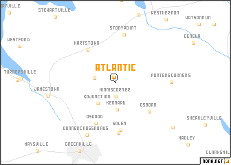
Atlantic (Pennsylvania, United States - USA)Atlantic is a town in the Pennsylvania region of United States - USA. An overview map of the region around Atlantic is displayed below.
regional and 3d topo map of Atlantic, United States - USA ::
Atlantic airports ::
The nearest airport is YNG - Youngstown Warren Rgnl, located 39.3 km south west of Atlantic.
Other airports nearby include AKR - Akron Fulton Intl (107.8 km south west), PIT - Pittsburgh (pennsylva) Pittsburgh Intl (112.9 km south), CLE - Cleveland Hopkins Intl (126.6 km west), YXU - London (182.8 km north), Nearby towns ::
Minnis Corner (2.3km south) //
Adamsville (2.7km west) //
Kennard (4.4km south) //
K O Junction (4.0km south west) //
Hartstown (6.3km north west) //
Osborn (6.3km south east) //
Osgood (7.1km south) //
Stony Point (7.8km north) //
Salem (7.8km south) //
Leechs Corners (8.2km south) //
Donner Crossroads (9.2km south) //
[all distances 'as the bird flies' and approximate] 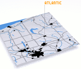 Places with similar names to Atlantic, United States - USA ::
// Atlantic (US)
// Atalantekke (TR)
// Atlantic (US)
// Atlantic (US)
// Atlantic (US)
// Atlantic (US)
// Atlantique (US)
// Atlantic (US)
// Atlantic (US)
// Atlantic (US)
Disclaimer :: Information on this page comes without warranty of any kind |
||
|
Where is Atlantic? Elevation and coordinates ::
Latitude (lat): 41°30'17"N Longitude (lon): 80°20'21"W
Elevation (approx.): 350m (map arrows pan, magnifying glasses zoom) |
||
|
Visiting Atlantic? Hotel/Accommodation ::
Book a hotel in Atlantic Travel Guide ::
rental cars ::
car rental offers GPS waypoint ::
download a GPX waypoint (PoI) of Atlantic for your GPS receiver
|
||