|
search place name
|
||
Banetown (Pennsylvania, United States - USA)Banetown is a town in the Pennsylvania region of United States - USA. An overview map of the region around Banetown is displayed below.
regional and 3d topo map of Banetown, United States - USA ::

Banetown airports ::
The nearest airport is PIT - Pittsburgh (pennsylva) Pittsburgh Intl, located 45.9 km north of Banetown.
Other airports nearby include EKN - Elkins Randolph Co Jennings Randolph (135.8 km south), YNG - Youngstown Warren Rgnl (136.7 km north), AKR - Akron Fulton Intl (149.5 km north west), AOO - Altoona Blair Co (164.3 km east), Nearby towns ::
Baker Station (0.4km south east) //
Condit Crossing (1.4km south) //
McCracken (1.3km south west) //
Chambers Mill (2.7km north west) //
Mount Herman (3.3km south) //
West Amity (4.4km south) //
Vankirk (4.9km north) //
Amity (4.7km south east) //
Hackney (5.3km south) //
Point Lookout (5.1km north west) //
Ringlands (5.8km south) //
Conger (5.9km south) //
Lone Pine (4.8km east) //
Plumbsock (6.3km south) //
Long Pine (5.7km north east) //
Van Buren (5.3km west) //
Braddock (7.4km north) //
Bakers (6.6km south east) //
Prosperity (6.7km south west) //
Laboratory (8.6km north) //
Green Hills (7.2km north west) //
Gabby Heights (8.8km north) //
West Union (9.2km south west) //
Franklin Farms (9.3km north west) //
South Strabane (8.6km north east) //
Ten Mile (8.9km south east) //
Mount Pleasant (9.5km north east) //
Lincoln Hill (10.0km north west) //
[all distances 'as the bird flies' and approximate] 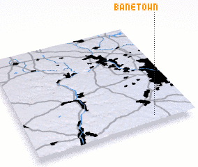 Places with similar names to Banetown, United States - USA ::
Disclaimer :: Information on this page comes without warranty of any kind |
||
|
Where is Banetown? Elevation and coordinates ::
Latitude (lat): 40°4'42"N Longitude (lon): 80°13'42"W
Elevation (approx.): 319m (map arrows pan, magnifying glasses zoom) |
||
|
Visiting Banetown? Hotel/Accommodation ::
Book a hotel in Banetown Travel Guide ::
rental cars ::
car rental offers GPS waypoint ::
download a GPX waypoint (PoI) of Banetown for your GPS receiver
|
||