|
search place name
|
||
Clover Run (Pennsylvania, United States - USA)Clover Run is a town in the Pennsylvania region of United States - USA. An overview map of the region around Clover Run is displayed below.
regional and 3d topo map of Clover Run, United States - USA ::

Clover Run airports ::
The nearest airport is AOO - Altoona Blair Co, located 80.8 km south east of Clover Run.
Other airports nearby include PIT - Pittsburgh (pennsylva) Pittsburgh Intl (132.2 km west), IPT - Williamsport Rgnl (159.9 km east), YNG - Youngstown Warren Rgnl (163.6 km west), IAD - Washington Dulles Intl (248.2 km south east), Nearby towns ::
Newtonburg (2.4km south east) //
McGees Mills (6.0km south) //
Middleton (6.1km south east) //
Sidney (6.8km south) //
Hillman (6.7km south west) //
Keal Run (7.7km south west) //
Mahaffey (8.3km south east) //
Bethlehem (9.1km south east) //
Ostend (8.8km south east) //
Stump Creek (10.0km north west) //
Lochvale (9.6km south west) //
[all distances 'as the bird flies' and approximate] 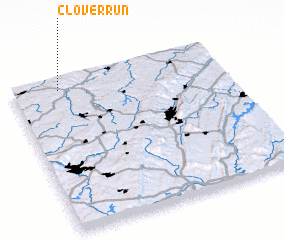 Places with similar names to Clover Run, United States - USA ::
// California (PH)
// California (US)
// California (PA)
// California (PA)
// California (CU)
// Gülveren (TR)
// Gülveren (TR)
// Gülveren (TR)
// Külveren (TR)
// Külveren (TR)
Disclaimer :: Information on this page comes without warranty of any kind |
||
|
Where is Clover Run? Elevation and coordinates ::
Latitude (lat): 40°56'2"N Longitude (lon): 78°46'49"W
Elevation (approx.): 629m (map arrows pan, magnifying glasses zoom) |
||
|
Visiting Clover Run? Hotel/Accommodation ::
Book a hotel in Clover Run Travel Guide ::
rental cars ::
car rental offers GPS waypoint ::
download a GPX waypoint (PoI) of Clover Run for your GPS receiver
|
||