|
search place name
|
||
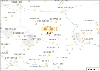
Donohoe (Pennsylvania, United States - USA)Donohoe is a town in the Pennsylvania region of United States - USA. An overview map of the region around Donohoe is displayed below.
regional and 3d topo map of Donohoe, United States - USA ::
Donohoe airports ::
The nearest airport is PIT - Pittsburgh (pennsylva) Pittsburgh Intl, located 67.3 km west of Donohoe.
Other airports nearby include AOO - Altoona Blair Co (98.2 km east), YNG - Youngstown Warren Rgnl (146.2 km north west), EKN - Elkins Randolph Co Jennings Randolph (161.6 km south), AKR - Akron Fulton Intl (186.6 km north west), Nearby towns ::
McClarran (1.3km north east) //
Sowash (1.4km north) //
Georges Station (1.2km west) //
Luxor (2.2km north) //
Denison (2.8km south) //
Carney (2.5km east) //
Bovard (2.5km west) //
Hannastown (4.8km north west) //
Stonevilla (4.3km south west) //
Crabtree (5.4km north) //
Eastwood (4.5km south west) //
Greenwald (5.4km north) //
Old Crabtree (5.0km north east) //
Marguerite (5.7km south) //
Beatty (5.0km east) //
Forbes Road (6.0km north west) //
Maplewood Terrace (5.9km south west) //
Greensburg (5.6km west) //
Humphreys (7.5km south) //
Highland (6.8km north west) //
Lloydsville (6.3km east) //
Palmers (7.4km south east) //
Southwest Greensburg (6.7km south west) //
Pleasant Unity (8.5km south) //
South Greensburg (7.2km south west) //
Saint Vincent Shaft (7.2km south east) //
Mutual (8.8km south) //
Shieldsburg (9.2km north) //
Manito (7.9km south east) //
[all distances 'as the bird flies' and approximate] 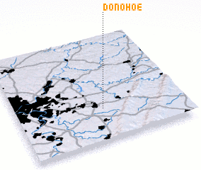 Places with similar names to Donohoe, United States - USA ::
Disclaimer :: Information on this page comes without warranty of any kind |
||
|
Where is Donohoe? Elevation and coordinates ::
Latitude (lat): 40°18'51"N Longitude (lon): 79°28'29"W
Elevation (approx.): 361m (map arrows pan, magnifying glasses zoom) |
||
|
Visiting Donohoe? Hotel/Accommodation ::
Book a hotel in Donohoe Travel Guide ::
rental cars ::
car rental offers GPS waypoint ::
download a GPX waypoint (PoI) of Donohoe for your GPS receiver
|
||