|
search place name
|
||
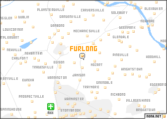
Furlong (Pennsylvania, United States - USA)Furlong is a town in the Pennsylvania region of United States - USA. An overview map of the region around Furlong is displayed below.
regional and 3d topo map of Furlong, United States - USA ::
Furlong airports ::
The nearest airport is NXX - Willow Grove Nas Jrb, located 12.1 km south west of Furlong.
Other airports nearby include TTN - Trenton Mercer (23.0 km east), PHL - Philadelphia Intl (49.0 km south), WRI - Wrightstown Mc Guire Afb (52.1 km south east), NEL - Lakehurst Naes (68.6 km south east), Nearby towns ::
Bridge Valley (1.9km south) //
Bennetts Corner (1.7km south west) //
Spring Valley (2.3km north) //
Forest Grove (2.0km east) //
Mechanics Valley (2.7km north) //
Pools Corner (2.8km north west) //
Mozart (3.3km south east) //
Buckingham Valley (3.1km north east) //
Buckingham (3.6km north east) //
Centerville (3.9km north east) //
Jamison (4.6km south) //
Mechanicsville (5.4km north) //
Doylestown (4.3km west) //
Bridge Point (4.3km west) //
Edison (4.4km south west) //
Holicong (5.3km north east) //
Cross Keys (5.2km north west) //
Landisville (6.5km north west) //
Dyerstown (6.2km north west) //
Rushland (6.1km south east) //
Little Italy (5.8km south east) //
Wycombe (5.6km east) //
Traymore (7.5km south) //
Hartsville (7.6km south) //
Warrington (6.8km south west) //
Lahaska (7.0km north east) //
Grenoble (7.3km south east) //
Pine Run (6.6km north west) //
Jacksonville (7.8km south) //
[all distances 'as the bird flies' and approximate] 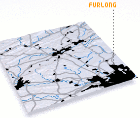 Places with similar names to Furlong, United States - USA ::
Disclaimer :: Information on this page comes without warranty of any kind |
||
|
Where is Furlong? Elevation and coordinates ::
Latitude (lat): 40°17'46"N Longitude (lon): 75°4'57"W
Elevation (approx.): 96m (map arrows pan, magnifying glasses zoom) |
||
|
Visiting Furlong? Hotel/Accommodation ::
Book a hotel in Furlong Travel Guide ::
rental cars ::
car rental offers GPS waypoint ::
download a GPX waypoint (PoI) of Furlong for your GPS receiver
|
||