|
search place name
|
||
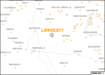
Lippincott (Pennsylvania, United States - USA)Lippincott is a town in the Pennsylvania region of United States - USA. An overview map of the region around Lippincott is displayed below.
regional and 3d topo map of Lippincott, United States - USA ::
Lippincott airports ::
The nearest airport is PIT - Pittsburgh (pennsylva) Pittsburgh Intl, located 62.1 km north of Lippincott.
Other airports nearby include EKN - Elkins Randolph Co Jennings Randolph (118.7 km south), YNG - Youngstown Warren Rgnl (154.2 km north), AOO - Altoona Blair Co (158.4 km east), AKR - Akron Fulton Intl (167.1 km north west), Nearby towns ::
Stony Point (3.4km south east) //
Mather (3.9km east) //
Castile (5.6km north) //
Ruff Creek (5.2km north west) //
Jefferson (5.2km east) //
Morrisville (6.1km south west) //
Chartiers (6.2km east) //
Waynesburg (7.0km south west) //
Burson Plan (6.7km north east) //
Bissell (8.3km north) //
Braden Plan (7.0km north east) //
Teagarden Homes (7.2km north east) //
Clarksville (7.4km north east) //
Blairtown (8.0km south west) //
Old Zollarsville (8.8km north east) //
Williamstown (8.0km north east) //
Fairfield (9.2km north east) //
Clarksville Hill (8.3km north east) //
[all distances 'as the bird flies' and approximate] 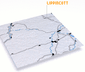 Places with similar names to Lippincott, United States - USA ::
// Lippincott (US)
Disclaimer :: Information on this page comes without warranty of any kind |
||
|
Where is Lippincott? Elevation and coordinates ::
Latitude (lat): 39°56'20"N Longitude (lon): 80°7'9"W
Elevation (approx.): 309m (map arrows pan, magnifying glasses zoom) |
||
|
Visiting Lippincott? Hotel/Accommodation ::
Book a hotel in Lippincott Travel Guide ::
rental cars ::
car rental offers GPS waypoint ::
download a GPX waypoint (PoI) of Lippincott for your GPS receiver
|
||