|
search place name
|
||
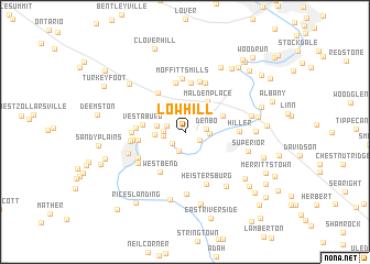
Lowhill (Pennsylvania, United States - USA)Lowhill is a town in the Pennsylvania region of United States - USA. An overview map of the region around Lowhill is displayed below.
regional and 3d topo map of Lowhill, United States - USA ::
Lowhill airports ::
The nearest airport is PIT - Pittsburgh (pennsylva) Pittsburgh Intl, located 58.6 km north west of Lowhill.
Other airports nearby include EKN - Elkins Randolph Co Jennings Randolph (124.7 km south), AOO - Altoona Blair Co (142.6 km east), YNG - Youngstown Warren Rgnl (151.9 km north west), AKR - Akron Fulton Intl (171.8 km north west), Nearby towns ::
Vesta Number Six (1.4km south east) //
Luzerne (1.6km south west) //
Binnstown (1.5km west) //
Melrose (2.1km south) //
Maxwell (1.6km west) //
Denbo (1.7km east) //
Dutch Hill (1.7km west) //
Alica (1.9km east) //
Maple Glen (2.3km west) //
La Belle (2.4km west) //
Malden Place (3.5km north east) //
Denbeau Heights (3.4km north east) //
Vestaburg (3.4km west) //
Centerville (4.5km north west) //
West Bend (4.5km south west) //
East Fredricktown (3.7km west) //
Walkertown (5.0km north) //
Vesta Heights (3.8km west) //
Sharrertown (5.0km north) //
Crescent Heights (5.2km north) //
Fredericktown (4.1km west) //
Daisytown (5.2km north) //
Moffitts Mills (5.4km north) //
Millsboro (4.5km south west) //
North Fredericktown (4.2km west) //
Hiller (4.3km east) //
Fredericktown Hill (4.4km west) //
Heistersburg (5.5km south) //
East Millsboro (4.8km south west) //
[all distances 'as the bird flies' and approximate]  Places with similar names to Lowhill, United States - USA ::
Disclaimer :: Information on this page comes without warranty of any kind |
||
|
Where is Lowhill? Elevation and coordinates ::
Latitude (lat): 40°0'36"N Longitude (lon): 79°57'4"W
Elevation (approx.): 296m (map arrows pan, magnifying glasses zoom) |
||
|
Visiting Lowhill? Hotel/Accommodation ::
Book a hotel in Lowhill Travel Guide ::
rental cars ::
car rental offers GPS waypoint ::
download a GPX waypoint (PoI) of Lowhill for your GPS receiver
|
||