|
search place name
|
||
Stewart (Pennsylvania, United States - USA)Stewart is a town in the Pennsylvania region of United States - USA. An overview map of the region around Stewart is displayed below.
regional and 3d topo map of Stewart, United States - USA ::

Stewart airports ::
The nearest airport is PIT - Pittsburgh (pennsylva) Pittsburgh Intl, located 41.1 km west of Stewart.
Other airports nearby include AOO - Altoona Blair Co (123.7 km east), YNG - Youngstown Warren Rgnl (124.4 km north west), AKR - Akron Fulton Intl (160.9 km north west), EKN - Elkins Randolph Co Jennings Randolph (165.3 km south), Nearby towns ::
Cavettsville (1.0km east) //
Trafford (1.5km north east) //
Taylor (1.8km north west) //
Wall (2.2km north west) //
Pitcairn (2.9km north) //
Blackburn (2.5km north east) //
Byerly (3.6km south) //
East McKeesport (3.0km west) //
North Versailles (3.2km west) //
Wilmerding (3.6km north west) //
Stewartsville (4.4km south) //
Ardara (3.8km south east) //
Barners Hill (4.3km south east) //
Monroe Heights (4.8km north) //
Monroeville (5.1km north) //
West Wilmerding (4.8km north west) //
White Oak (5.4km south west) //
Fite Station (4.6km west) //
Level Green (4.8km north east) //
Larimer (5.2km south east) //
Newtown (5.7km north west) //
Browntown (5.8km south east) //
Circleville (6.2km south east) //
Turtle Creek (5.5km north west) //
Emblem (6.7km south) //
Linhart (6.2km north west) //
Oak Hill (6.4km north west) //
Jacktown (6.5km south east) //
Riverton (5.7km west) //
[all distances 'as the bird flies' and approximate] 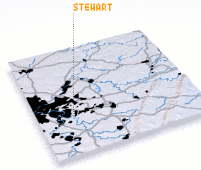 Places with similar names to Stewart, United States - USA ::
Disclaimer :: Information on this page comes without warranty of any kind |
||
|
Where is Stewart? Elevation and coordinates ::
Latitude (lat): 40°22'37"N Longitude (lon): 79°46'21"W
Elevation (approx.): 290m (map arrows pan, magnifying glasses zoom) |
||
|
Visiting Stewart? Hotel/Accommodation ::
Book a hotel in Stewart Travel Guide ::
rental cars ::
car rental offers GPS waypoint ::
download a GPX waypoint (PoI) of Stewart for your GPS receiver
|
||