|
search place name
|
||
Zion Heights (Pennsylvania, United States - USA)Zion Heights is a town in the Pennsylvania region of United States - USA. An overview map of the region around Zion Heights is displayed below.
regional and 3d topo map of Zion Heights, United States - USA ::

Zion Heights airports ::
The nearest airport is IPT - Williamsport Rgnl, located 87.5 km south west of Zion Heights.
Other airports nearby include SYR - Syracuse Hancock Intl (141.0 km north), MUI - Muir Aaf (159.1 km south), ROC - Greater Rochester Intl (183.5 km north west), MDT - Harrisburg Intl (188.6 km south), Nearby towns ::
Wells Hollow (1.5km north) //
South Hill (1.7km south west) //
Potterville (3.9km north) //
Herrickville (4.5km south) //
Orwell (4.8km north west) //
East Herrick (5.2km south east) //
Allis Hollow (4.8km west) //
Le Raysville (5.7km east) //
Brushville (6.4km south east) //
South Warren (6.7km north east) //
Tyrrell (9.3km north) //
Mercur (8.2km south west) //
Russellville (9.0km north west) //
North Orwell (9.2km north west) //
[all distances 'as the bird flies' and approximate] 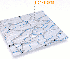 Places with similar names to Zion Heights, United States - USA ::
Disclaimer :: Information on this page comes without warranty of any kind |
||
|
Where is Zion Heights? Elevation and coordinates ::
Latitude (lat): 41°50'47"N Longitude (lon): 76°14'54"W
Elevation (approx.): 429m (map arrows pan, magnifying glasses zoom) |
||
|
Visiting Zion Heights? Hotel/Accommodation ::
Book a hotel in Zion Heights Travel Guide ::
rental cars ::
car rental offers GPS waypoint ::
download a GPX waypoint (PoI) of Zion Heights for your GPS receiver
|
||