|
search place name
|
||
Cleveland-A-Farm (South Carolina, United States - USA)Cleveland-A-Farm is a town in the South Carolina region of United States - USA. An overview map of the region around Cleveland-A-Farm is displayed below.
regional and 3d topo map of Cleveland-A-Farm, United States - USA ::

Cleveland-A-Farm airports ::
The nearest airport is AND - Andersen Anderson Rgnl, located 27.3 km south east of Cleveland-A-Farm.
Other airports nearby include TYS - Knoxville Mc Ghee Tyson (161.2 km north west), MGE - Marietta Dobbins Arb (Atlanta Nas) (164.7 km south west), AGS - Bush Field Augusta Rgnl At Bush Fld (167.5 km south east), ATL - Hartsfield Jackson Atlanta Intl (175.5 km south west), Nearby towns ::
Bent Tree (1.4km east) //
Shadwick (2.7km east) //
The Meadows (2.7km east) //
Snug Harbor (3.5km south) //
Singing Pines (3.4km north east) //
Dalton (3.8km north west) //
Friendship (3.4km east) //
Seneca Landing (3.6km east) //
Greenbriar (3.9km east) //
Return (3.9km west) //
Ridgeview (4.4km north east) //
Seven Oaks (4.5km south east) //
Caballin Springs (4.4km south east) //
Cross Roads (4.8km south west) //
The Woods (4.4km north west) //
Utica (5.1km north) //
Seneca (5.6km north) //
Grover Square (5.3km north west) //
Tokeena Point (5.2km south east) //
Woodland Acres (5.5km north west) //
Timberlake (5.9km south east) //
Martindale (5.3km east) //
Jordonia (6.3km north east) //
Mylintee Estates (5.7km east) //
Friendship Shores (5.9km south east) //
Hicks Store (5.6km west) //
Harbin Acres (6.3km north east) //
Rackley (6.7km north east) //
Spring Valley (6.2km east) //
[all distances 'as the bird flies' and approximate] 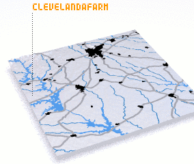 Places with similar names to Cleveland-A-Farm, United States - USA :: Disclaimer :: Information on this page comes without warranty of any kind |
||
|
Where is Cleveland-A-Farm? Elevation and coordinates ::
Latitude (lat): 34°38'8"N Longitude (lon): 82°57'10"W
Elevation (approx.): 250m (map arrows pan, magnifying glasses zoom) |
||
|
Visiting Cleveland-A-Farm? Hotel/Accommodation ::
Book a hotel in Cleveland-A-Farm Travel Guide ::
rental cars ::
car rental offers GPS waypoint ::
download a GPX waypoint (PoI) of Cleveland-A-Farm for your GPS receiver
|
||