|
search place name
|
||
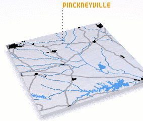
Pinckneyville (South Carolina, United States - USA)Pinckneyville is a town in the South Carolina region of United States - USA. An overview map of the region around Pinckneyville is displayed below.
regional and 3d topo map of Pinckneyville, United States - USA ::

Pinckneyville airports ::
The nearest airport is CLT - Charlotte Douglas Intl, located 63.2 km north east of Pinckneyville.
Other airports nearby include HKY - Hickory Rgnl (99.9 km north), CAE - Colombia Columbia Metropolitan (105.3 km south), AND - Andersen Anderson Rgnl (120.1 km west), SSC - Sumter Shaw Afb (133.2 km south east), Nearby towns ::
 Places with similar names to Pinckneyville, United States - USA ::
// Pinkneyville (US)
// Pinckneyville (US)
// Pinckneyville (US)
// Pinckneyville (US)
// Pinkneyville (US)
// Pankunaveli (LK)
// Punkanaveli (LK)
Disclaimer :: Information on this page comes without warranty of any kind |
||
|
Where is Pinckneyville? Elevation and coordinates ::
Latitude (lat): 34°50'34"N Longitude (lon): 81°28'7"W
Elevation (approx.): 157m (map arrows pan, magnifying glasses zoom) |
||
|
Visiting Pinckneyville? Hotel/Accommodation ::
Book a hotel in Pinckneyville Travel Guide ::
rental cars ::
car rental offers GPS waypoint ::
download a GPX waypoint (PoI) of Pinckneyville for your GPS receiver
|
||