|
search place name
|
||
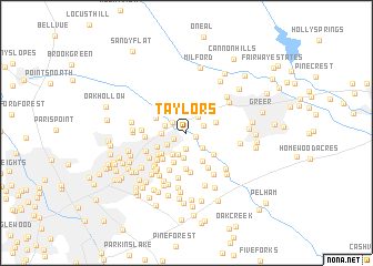
Taylors (South Carolina, United States - USA)Taylors is a town in the South Carolina region of United States - USA. An overview map of the region around Taylors is displayed below.
regional and 3d topo map of Taylors, United States - USA ::
Taylors airports ::
The nearest airport is AND - Andersen Anderson Rgnl, located 60.5 km south west of Taylors.
Other airports nearby include HKY - Hickory Rgnl (122.8 km north east), CLT - Charlotte Douglas Intl (127.7 km east), CAE - Colombia Columbia Metropolitan (153.5 km south east), AGS - Bush Field Augusta Rgnl At Bush Fld (174.7 km south), Nearby towns ::
Oak View (0.8km south east) //
Lorena Park (1.3km south west) //
Colonial Hills (1.6km south) //
Old Mill Estates (1.6km north west) //
Chick Springs (1.6km north east) //
Groveland Dell (1.9km north east) //
Pinewood Estates (2.0km north) //
Enoree Hills (2.0km south east) //
The Meadows (2.0km south west) //
Edwards Forest Heights (1.9km west) //
Windsor Oaks (2.3km south) //
Seven Oaks (2.0km west) //
Grey Fox Run (2.5km south) //
Thornwood Acres (2.4km south west) //
Laurel Hills (2.7km north east) //
Suber (2.7km north east) //
Orchard Acres (2.7km south west) //
Walden Pond (3.2km south) //
Thornwood (2.9km south west) //
Silver Leaf (3.2km south east) //
Peppertree (2.9km north west) //
Riverdowns (3.1km south east) //
Broadleaf Acres (3.1km south west) //
Homestead Acres (3.3km south west) //
East Gate Village (3.7km south) //
Del Norte Estates (4.0km south) //
Green Forest (3.7km south west) //
Cunningham Acres (4.0km south) //
Sugar Creek Villas (3.9km south east) //
[all distances 'as the bird flies' and approximate] 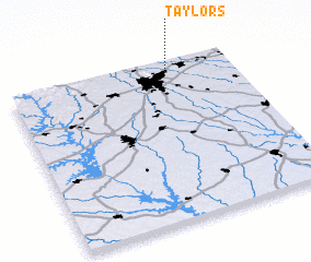 Places with similar names to Taylors, United States - USA ::
Disclaimer :: Information on this page comes without warranty of any kind |
||
|
Where is Taylors? Elevation and coordinates ::
Latitude (lat): 34°55'13"N Longitude (lon): 82°17'47"W
Elevation (approx.): 287m (map arrows pan, magnifying glasses zoom) |
||
|
Visiting Taylors? Hotel/Accommodation ::
Book a hotel in Taylors Travel Guide ::
rental cars ::
car rental offers GPS waypoint ::
download a GPX waypoint (PoI) of Taylors for your GPS receiver
|
||