|
search place name
|
||
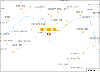
Adams Mill (Tennessee, United States - USA)Adams Mill is a town in the Tennessee region of United States - USA. An overview map of the region around Adams Mill is displayed below.
regional and 3d topo map of Adams Mill, United States - USA ::
Adams Mill airports ::
The nearest airport is HKY - Hickory Rgnl, located 117.7 km east of Adams Mill.
Other airports nearby include TYS - Knoxville Mc Ghee Tyson (131.1 km west), CLT - Charlotte Douglas Intl (181.7 km south east), AND - Andersen Anderson Rgnl (182.9 km south), Nearby towns ::
Mount Carmel (1.2km north) //
Painter Spring (1.8km south) //
Liberty (2.2km west) //
Philadelphia (4.8km north west) //
Pleasant Hill (4.4km west) //
Gladstone (5.4km north east) //
Graham Mill (6.3km north east) //
Gravel Hill (7.4km north) //
Horse Creek (6.4km north west) //
Broylesville (8.2km north) //
Conklin (7.6km north east) //
Washington College (9.2km north) //
[all distances 'as the bird flies' and approximate] 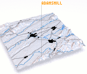 Places with similar names to Adams Mill, United States - USA ::
// Adams Mill (US)
Disclaimer :: Information on this page comes without warranty of any kind |
||
|
Where is Adams Mill? Elevation and coordinates ::
Latitude (lat): 36°8'25"N Longitude (lon): 82°35'53"W
Elevation (approx.): 510m (map arrows pan, magnifying glasses zoom) |
||
|
Visiting Adams Mill? Hotel/Accommodation ::
Book a hotel in Adams Mill Travel Guide ::
rental cars ::
car rental offers GPS waypoint ::
download a GPX waypoint (PoI) of Adams Mill for your GPS receiver
|
||