|
search place name
|
||
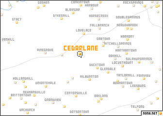
Cedar Lane (Tennessee, United States - USA)Cedar Lane is a town in the Tennessee region of United States - USA. An overview map of the region around Cedar Lane is displayed below.
regional and 3d topo map of Cedar Lane, United States - USA ::
Cedar Lane airports ::
The nearest airport is HKY - Hickory Rgnl, located 133.5 km south east of Cedar Lane.
Other airports nearby include TYS - Knoxville Mc Ghee Tyson (134.4 km south west), CLT - Charlotte Douglas Intl (200.6 km south east), AND - Andersen Anderson Rgnl (206.7 km south), Nearby towns ::
Ducktown (3.8km south east) //
Jearoldstown (3.7km west) //
Graysburg (5.0km south) //
Milburnton (5.3km south) //
Lovelace (5.6km north) //
Haws Crossroads (5.0km north east) //
Gabtown (5.5km north east) //
Liberty Hill (6.2km south west) //
Glendale (6.0km south east) //
Oak Hill (6.3km east) //
Fall Branch (7.6km north east) //
Pine Grove (6.7km west) //
Mitchell Springs (7.3km east) //
Centersville (8.9km south) //
Big Sandy (8.6km south east) //
Union Temple (9.3km south west) //
[all distances 'as the bird flies' and approximate] 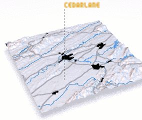 Places with similar names to Cedar Lane, United States - USA ::
// Strel'na (RU)
// Strel'na (RU)
// Strel'no (RU)
// Strelna (US)
// Straelen (DE)
// Strehlen (DE)
// Strellin (DE)
// Strelln (DE)
// Sitarálona (GR)
// Starowlany (PL)
Disclaimer :: Information on this page comes without warranty of any kind |
||
|
Where is Cedar Lane? Elevation and coordinates ::
Latitude (lat): 36°21'25"N Longitude (lon): 82°39'44"W
Elevation (approx.): 492m (map arrows pan, magnifying glasses zoom) |
||
|
Visiting Cedar Lane? Hotel/Accommodation ::
Book a hotel in Cedar Lane Travel Guide ::
rental cars ::
car rental offers GPS waypoint ::
download a GPX waypoint (PoI) of Cedar Lane for your GPS receiver
|
||