|
search place name
|
||
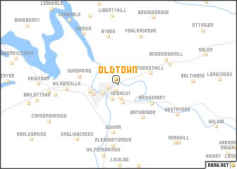
Oldtown (Tennessee, United States - USA)Oldtown is a town in the Tennessee region of United States - USA. An overview map of the region around Oldtown is displayed below.
regional and 3d topo map of Oldtown, United States - USA ::
Oldtown airports ::
The nearest airport is TYS - Knoxville Mc Ghee Tyson, located 77.1 km west of Oldtown.
Other airports nearby include HKY - Hickory Rgnl (162.6 km east), AND - Andersen Anderson Rgnl (170.0 km south), Nearby towns ::
Jimtown (1.0km south) //
Northport (1.4km south west) //
Irish Cut (2.3km south) //
Eastport (2.4km south) //
Newport (2.5km south west) //
Castle Heights (3.0km south) //
Jaybird (3.5km south west) //
West End (3.8km west) //
Forest Hill (4.5km north east) //
Bridgeport (5.3km south east) //
Gum Spring (5.1km west) //
Bat Harbor (6.2km south east) //
Edwina (7.7km south) //
Bybee (7.7km north) //
Wilsonville (6.6km west) //
Fowler Grove (8.1km north) //
Brookside Mill (7.3km north east) //
Parrottsville (7.4km north east) //
Rankin (9.2km north west) //
English Creek (10.2km south west) //
[all distances 'as the bird flies' and approximate] 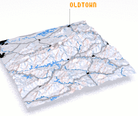 Places with similar names to Oldtown, United States - USA ::
Disclaimer :: Information on this page comes without warranty of any kind |
||
|
Where is Oldtown? Elevation and coordinates ::
Latitude (lat): 35°58'48"N Longitude (lon): 83°9'57"W
Elevation (approx.): 336m (map arrows pan, magnifying glasses zoom) |
||
|
Visiting Oldtown? Hotel/Accommodation ::
Book a hotel in Oldtown Travel Guide ::
rental cars ::
car rental offers GPS waypoint ::
download a GPX waypoint (PoI) of Oldtown for your GPS receiver
|
||