|
search place name
|
||
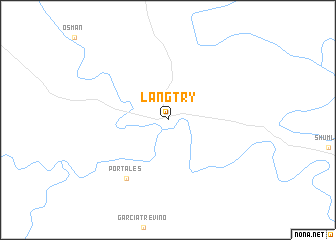
Langtry (Texas, United States - USA)Langtry is a town in the Texas region of United States - USA. An overview map of the region around Langtry is displayed below.
regional and 3d topo map of Langtry, United States - USA ::
Langtry airports ::
The nearest airport is DLF - Del Rio Laughlin Afb, located 90.5 km south east of Langtry.
Other airports nearby include PDS - Piedras Negras Intl (164.4 km south east), SJT - San Angelo Rgnl Mathis Fld (199.7 km north east), INK - Winkler Co (269.2 km north west), Nearby towns ::
Portales (7.6km south west) //
[all distances 'as the bird flies' and approximate] 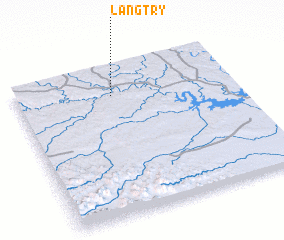 Places with similar names to Langtry, United States - USA ::
Disclaimer :: Information on this page comes without warranty of any kind |
||
|
Where is Langtry? Elevation and coordinates ::
Latitude (lat): 29°48'30"N Longitude (lon): 101°33'30"W
Elevation (approx.): 394m (map arrows pan, magnifying glasses zoom) |
||
|
Visiting Langtry? Hotel/Accommodation ::
Book a hotel in Langtry Travel Guide ::
rental cars ::
car rental offers GPS waypoint ::
download a GPX waypoint (PoI) of Langtry for your GPS receiver
|
||